
Click-to-call us:
Medina | Akron, OH
330-441-4916
Cleveland, OH
216-619-7979
Columbus, OH
614-358-2772
Pittsburgh, PA
412-223-9001
Toll Free Phone
877-AIR-PIX-6
(877-247-7496)
Toll Free Fax
877-AIR-PIX-5
(877-247-7495)
Above All - Ohio | Services | Verticals | Custom Photo Maps
| Obliques | Verticals | Video | Thermography | Aerial Lift | Construction | Architectural | Graphics |

| Near Verticals | True Verticals | Custom Photo Maps | Stock Photo Maps | Interactive & Geotagging |
|
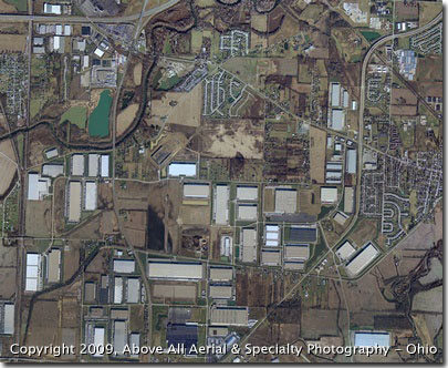
Aerial photo maps are valuable tools for economic development agencies, engineers, architects, planners, commercial developers, land and water management agencies, and any person or entity that needs curent photographs of a large area of land. Vertical imagery available through search engines can be outdated - often times by several years - and can not be easily printed. Commercial use of the images may also be prohibited or restricted. Our custom photo maps be can rectified for accuracy. They may also contain latitude and longitude information if desired, but photomaps typically will not contain land elevation data. If elevations are needed, we can perform a true vertical aerial survey. Above All - Ohio can custom map areas of nearly any size and prepare current photo maps for you. You can also purchase high resolution stock photo maps for most areas of the United States through us. Please check out the Stock Photo Maps page for more information or contact us to discuss your needs. |
Above All Aerial & Specialty Photography - OhioOur images will work for you.℠ |
